
Multi-Agent AI System for Geospatial Code Generation
Built a multi-agent AI system that generates, debugs, and optimizes geospatial code -- from simple GIS scripts to deep learning pipelines.
Overview
Kawnix was developed to address the complex and time-consuming challenges faced by geospatial engineers. At its core, Kawnix is a sophisticated multi-agent AI system designed to automate and optimize a wide range of geospatial tasks, from basic coding to advanced deep learning projects.
What Kawnix Does
Kawnix is a specialized tool for geospatial engineering:
-
Code Generation: Creates anything from simple GIS functions to full deep learning training pipelines.
-
Iterative Learning: Adjusts and improves generated code based on execution feedback and errors.
-
Geospatial Specialization: Optimized for geospatial data formats, projections, and common GIS libraries.
-
End-to-End Project Handling: Manages entire projects from initial coding to model training and optimization.
-
Efficiency: Reduces project turnaround by automating repetitive geospatial coding tasks.
Key Components of Kawnix
Multi-Agent System
The heart of Kawnix is its multi-agent AI system. This system allows for complex problem-solving by breaking down tasks and collaborating between specialized agents. For geospatial tasks, this might include:
- Data preprocessing agents
- Spatial analysis agents
- Machine learning model development agents
- Visualization and mapping agents
Adaptive Learning Loop
Kawnix implements an adaptive learning loop where each iteration of code generation is evaluated, with mistakes identified and corrected. This ensures continuous improvement in the quality and efficiency of the generated solutions.
To give you an example this is a demo of a geospatial team working together to fine-tune the parameters of a machine learning model:
Geospatial Toolkit Integration
While Kawnix can handle a wide range of programming tasks, it's specially optimized for geospatial work. It integrates with common GIS tools and libraries for tasks like:
- Satellite image processing
- Terrain analysis
- Spatial data manipulation
- Custom GIS tool development
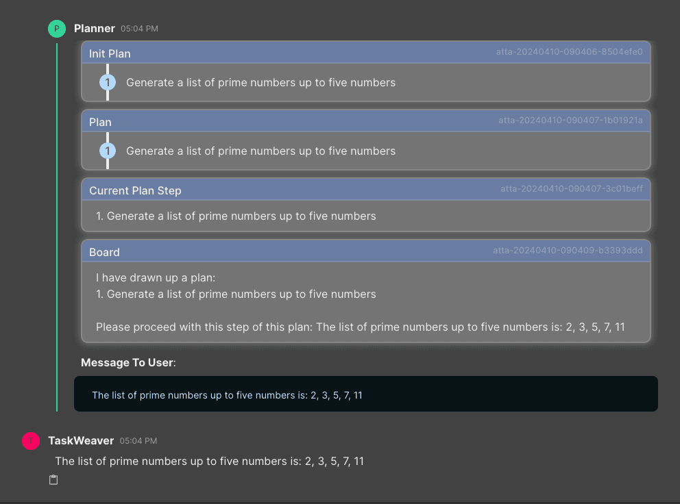
Here's a demo of the Kawnix multi-agent system in action:
Development Journey
Challenges Overcome
-
Complex Task Coordination: Developed a sophisticated system for breaking down complex geospatial tasks and coordinating multiple AI agents to solve them efficiently.
-
Geospatial Specialization: Optimized the system to understand and work with geospatial concepts, data formats, and tools commonly used in the industry.
-
Continuous Learning Implementation: Created an adaptive system capable of learning from mistakes and improving its code generation over time.
By addressing these challenges, Kawnix became a specialized tool for geospatial engineering, reducing development time for repetitive GIS coding tasks.
Our Approach
- Multi-Agent AI Systems
- Machine Learning
- Geospatial Data Processing
- Adaptive Code Generation
- Supported Geospatial Tasks
- 100+